
The Atlantic’s late-season activity continues to surprise meteorologists as a new tropical threat emerges in the Caribbean. While many assumed the hurricane season was winding down, Mother Nature seems to have other plans brewing in the warm waters south of Puerto Rico.
Weather experts are tracking what could become the next significant storm system of 2025. The timing catches many off guard, especially considering how quiet the Caribbean has remained throughout much of this hurricane season.
Developing Threat Over The Caribbean

A tropical wave currently moving westward across the Atlantic could develop into a tropical storm as it enters the Caribbean early next week. Meteorologists are closely watching its progress as environmental conditions become more favorable for strengthening.
Early Signs Of Organization Detected
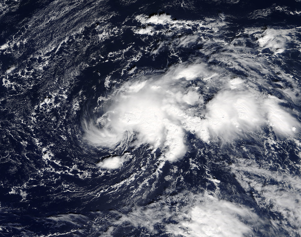
Satellite imagery captured on Friday shows clusters of thunderstorms forming as the tropical wave approaches the eastern Caribbean. Experts warn that the system could organize rapidly once it reaches the region’s warm waters.
Conditions Favor Quick Development

AccuWeather Lead Hurricane Expert Alex DaSilva stated that low wind shear and high sea surface temperatures could allow the system to strengthen quickly. The next named storm of the 2025 Atlantic season would be called Melissa.
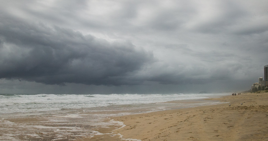
Caribbean Islands To See Early Impacts

Residents of the Leeward Islands should expect rain, thunderstorms, and gusty winds through the weekend. Meteorologists urge people across the Caribbean to stay updated as the situation could evolve into a more serious threat next week.
Multiple Development Scenarios Possible
The system’s proximity to South America may determine its strength. If the tropical center tracks too close to the northern coast, friction could weaken development. However, if it drifts farther north over open water, it could intensify into a tropical storm.
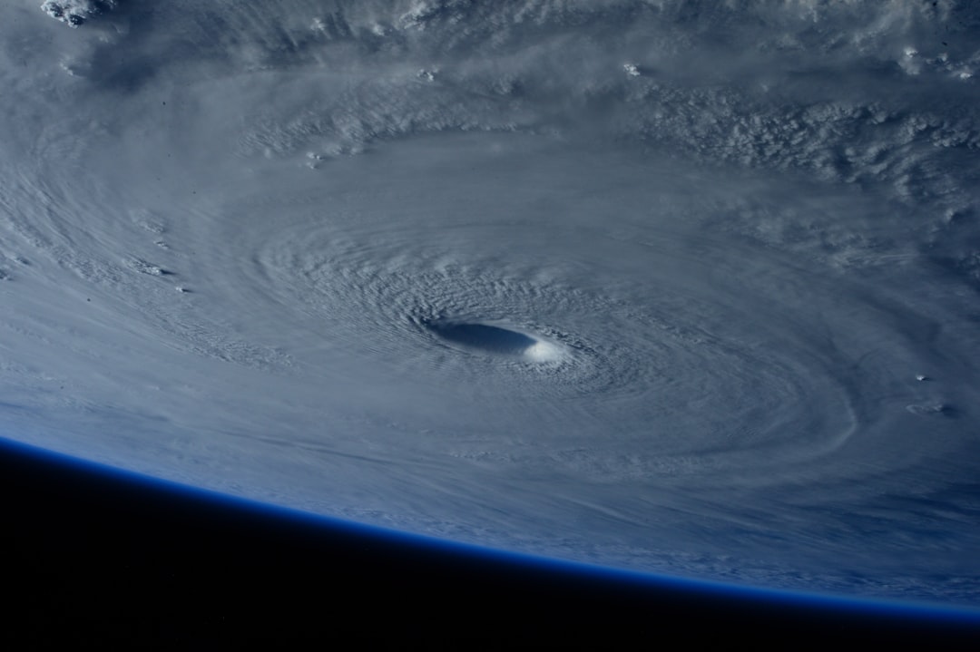
Exceptionally Warm Waters Raise Concern

The Caribbean has remained largely undisturbed by storms this season, leaving ocean temperatures higher than average. These warm waters provide ample fuel for tropical cyclones, making the region ripe for late-season development.
Tracking The Potential Path Of The Storm
As the system progresses, the jet stream pattern over the United States will play a critical role. A strong west-to-east flow may steer the storm away from the Gulf, but weaker dips could allow it to curve north toward Florida or the Bahamas later in the week.
U.S. And Regional Impact Possibilities

Current models suggest the storm could reach areas near Jamaica or the Yucatán Peninsula before influencing Florida. While the risk to the western Gulf remains low, South Florida, Puerto Rico, and the U.S. Virgin Islands could face higher chances of impact.
Late-Season Activity Still A Concern

Although the calendar nears the end of hurricane season, forecasters warn that tropical development remains possible. Roughly 12% of the Atlantic hurricane season typically occurs after mid-October, keeping the Caribbean on alert.
La Niña’s Role In Ongoing Storm Formation
Experts note that the return of La Niña conditions could prolong tropical activity into late fall. Similar patterns last year produced multiple storms into November. As a result, meteorologists caution against lowering vigilance despite the approaching end of the season.