
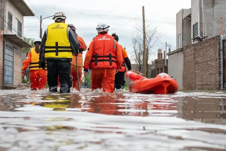
Floods don’t care about state lines, zip codes, or how far you are from the ocean. They show up when and where they want. Honestly, the sheer scale of the flood threat across the United States right now is something most people aren’t thinking nearly enough about. A simple question typed into ChatGPT turned into a deep rabbit hole of alarming data, government reports, and scientific research that paints a picture nobody should ignore.
Flooding remains the most common and most expensive natural disaster in the United States, and updated 2024 to 2025 FEMA, NOAA, and National Weather Service flood assessments show that millions more properties are now classified as vulnerable than earlier models suggested. The states on this list aren’t just flood-prone in a general sense. They are actively being reshaped by water in ways that data is only just beginning to capture. Let’s dive in.
1. Florida: The State That’s Already Getting Its Feet Wet
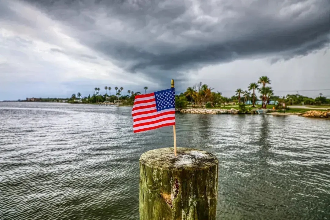
Few states face a more immediate and visible flood crisis than Florida. The numbers coming out of government analyses are striking and hard to ignore.
NOAA’s 2024 to 2025 data showed sharp increases in high-tide flooding and even “sunny-day flooding,” particularly along Florida’s Atlantic and Gulf coasts. These patterns strain infrastructure and result in widespread, costly flood events across both coastal and inland communities.
One quarter of the estimated 1.4 million homes sitting in at-risk coastal areas nationwide are in Florida alone. That’s a staggering concentration of risk in a single state. Think of it like putting nearly a quarter of all your eggs in one very soggy basket.
Florida is a low-lying state susceptible to storm surge from tropical storms and hurricanes. Residents of densely populated cities like Miami and other urban centers face significant and compounding risks. The Florida Department of Environmental Protection has already begun developing a statewide flood vulnerability and sea level rise assessment to identify communities most at risk, which tells you something important: officials know the threat is real and growing fast.
2. Louisiana: Sinking and Flooding at the Same Time
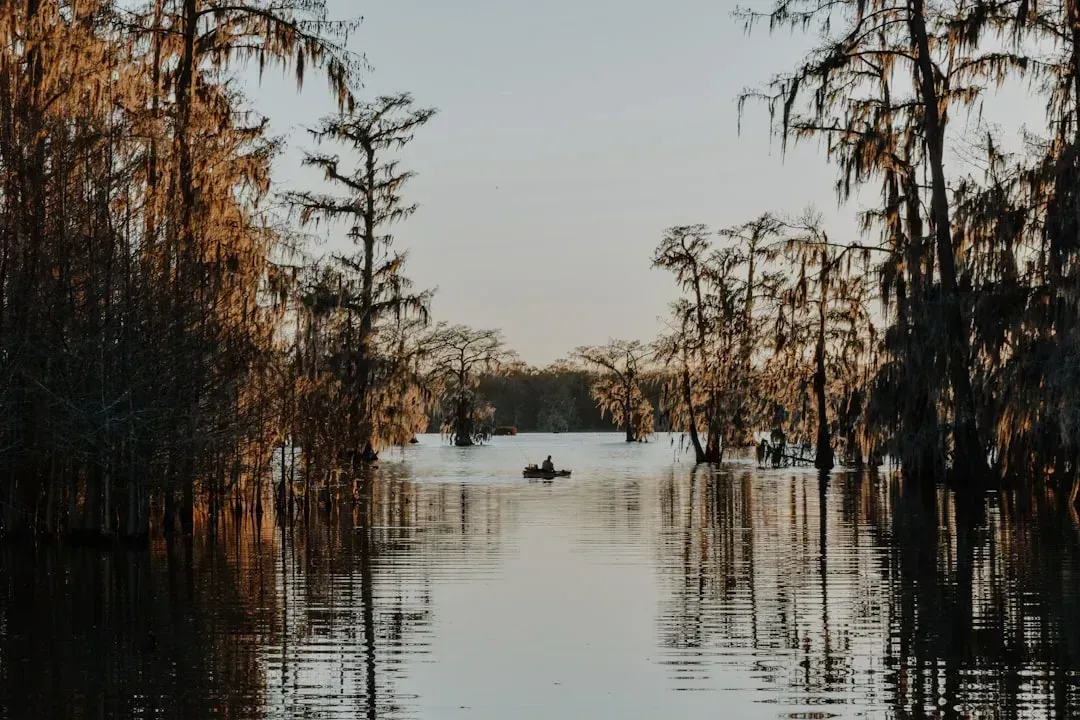
Here’s the thing about Louisiana that makes it uniquely alarming. It isn’t just flooding from above. The land itself is actively sinking beneath people’s feet while sea levels rise around them.
Sea levels around Louisiana have risen up to 24 inches since 1950 and are now rising as much as one inch every two years, mainly due to sinking land and eroding shorelines. Because of sea level rise, tidal flooding in some areas has increased by fully double since 2000, and communities are spending over 25 billion dollars on solutions.
Louisiana remains one of the most flood-prone states, with 1.5 million residents living in high-risk areas. That’s nearly a third of the state’s entire population. Flooding in coastal areas of the United States is projected to occur ten times more often over the next 25 years, with about 2.5 million people and 1.4 million homes facing severe property damage from sea level rise.
Louisiana is ranked fourth in Climate Central’s list of states with the most population at risk from severe coastal flooding in the coming 25 years. The Gulf Coast region, where Louisiana sits, faces higher-than-average rates of sea level rise. It’s a convergence of forces that makes this state one of the most sobering cases on the entire list.
3. Texas: The Flash Flood Capital of a Giant State
Texas is so enormous and so geographically diverse that you might think the risk gets spread thin. It doesn’t. The sheer variety of terrain actually creates multiple different flood hazard types all at once.
Texas is one of the states most at risk for flooding due to its enormous geographic variety and extreme weather, with approximately 1.8 million residents living in areas with substantial flood exposure.
The catastrophic flash flooding in the Texas Hill Country in July 2025 was one of the deadliest inland floods in U.S. history. That event hit communities hundreds of miles from any ocean coast. Increased precipitation from ocean and atmospheric warming is likely causing flash floodwater flooding in areas like the Texas Hill Country, which is hundreds of miles inland from the nearest ocean coast.
Texas regularly experiences some of the deadliest and most expensive flood disasters in the U.S. The 2025 Central Texas flash floods devastated areas outside FEMA-designated flood zones, demonstrating how unpredictable and widespread the state’s flood risk has become. In other words, even if your neighborhood isn’t on a flood map, that may mean very little in Texas today.
4. North Carolina: The Mountain State That Nearly Drowned
Most people think of coastal flooding when they picture disaster in North Carolina. Then Hurricane Helene happened in 2024 and changed everything people thought they knew about where floods strike.
The devastation caused by Tropical Storm Helene in Western North Carolina in September 2024 saw over 30 inches of rain recorded in some areas. The storm shattered North Carolina’s century-old record for flood-related fatalities, resulting in 104 deaths statewide, including 42 in Buncombe County.
About 1,400 homes were destroyed and 2,300 others sustained major damage from the storm, and more than 200 landslides caused damage to several roads. The images of Asheville, an inland mountain city, completely cut off by floodwaters were nothing short of shocking. I think most Americans genuinely didn’t believe that could happen there.
Preliminary estimates using First Street Foundation data suggest that the number of at-risk properties in western North Carolina could be up to seven times higher than FEMA maps indicate. Over the past decade, North Carolina has experienced increased heavy precipitation, more frequent and intense severe weather events, and inland flooding, further exacerbated by sea level rise. This is a state where the flood threat now comes from two completely different directions at once.
5. New York: Dense Population Meets Rising Water
New York is one of those places where the scale of the population living in danger zones makes the numbers feel almost unreal. When a disaster strikes here, it doesn’t just affect individuals. It threatens critical infrastructure that millions of people depend on every single day.
New York has approximately 1.1 million residents living in high-exposure flood zones. The state faces a combination of coastal, urban, and inland flood hazards.
New York City has the most people currently living in areas at risk of a severe flood in 2050, with an estimated 271,000 people. That’s a city within a city of people at serious risk. New York’s flood risk is increasing as storms become more intense and rainfall totals rise. Major events in 2023 and 2024 demonstrated how easily severe rain can cripple drainage systems in New York City and surrounding suburbs, making it one of the most flood-prone states even outside hurricane season.
Recent research shows that the Northeast has experienced a roughly 60% increase in extreme rainfall events over recent decades, with cities like New York facing record hourly rainfall and flash flooding in 2025. The subway system, roads, basements, and aging infrastructure simply weren’t built for the kind of rain events that are now becoming routine. That’s a gap that won’t be easy to close.
6. New Jersey: Where Coastal Density Becomes Catastrophic Risk
New Jersey is small in size but enormous in risk. It packs one of the densest populations on the East Coast into a geographic footprint squeezed between the ocean and major river systems. There isn’t much room to escape when the water rises.
With 1.2 million residents exposed to flood hazards, New Jersey is consistently ranked among the top states most at risk for flooding, especially along the Atlantic Coast. New Jersey has one of the densest coastal populations in the nation, placing more homes and businesses in harm’s way.
New Jersey has one of the densest coastal populations in the nation. Recent studies from 2024 and 2025 identify several New Jersey counties among the highest-risk coastal zones in the United States. State officials have recognized the urgency. New Jersey finalized updates to land use and development standards to protect communities and ecosystems from growing risks, particularly inland and coastal flooding. The state Department of Environmental Protection expects to adopt the coastal flooding rules by January 2026.
Still, policy updates can only do so much when the physical geography itself is working against you. Sea level rise doesn’t pause while the legislature debates. For millions of New Jersey residents, the question isn’t whether flooding will worsen. It’s how quickly.
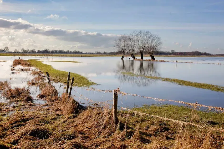
7. The Broader Picture: The Hidden Flood Crisis Across Every State
The seven states above are the most dramatic examples, but the scale of the national flood problem goes far deeper than any single list can capture. The data from recent years reveals a crisis that is accelerating faster than old maps and old assumptions can track.
An estimated 14.6 million U.S. properties now face substantial flood risk, fully 67% more than traditional FEMA maps identified. That gap between what official maps say and what reality looks like is one of the most dangerous mismatches in American disaster preparedness today.
Many catastrophic floods occurred outside FEMA flood zones, proving that official risk maps are often outdated or incomplete. FEMA has faced considerable criticism from experts who claim that many of the federal agency’s maps are many years out of date. A 2022 research paper warns that FEMA relies too heavily on historical data and doesn’t take into account the probability of substantially increased flooding from the effects of climate change.
Seven states including Louisiana, Florida, New Jersey, Texas, California, New York, and Massachusetts account for nearly 80% of projected at-risk facilities under sea level rise scenarios. Since 1980, the U.S. has sustained 426 billion-dollar disasters, with a total cost exceeding 3.1 trillion dollars. The frequency of U.S. billion-dollar disasters has increased dramatically since 1980 due to the rise in extreme weather and a growing number of people, homes, and businesses in harm’s way. The trend line points in one direction only.
If there’s one takeaway from this alarming list, it’s that flood risk in 2026 looks nothing like flood risk a generation ago. The maps in people’s heads, and even the official ones filed in government offices, are increasingly out of date. Whether you live on the Gulf Coast, in the mountains of Appalachia, or in a dense northeastern suburb, the water doesn’t care about your assumptions. What would you have guessed about your own state’s flood risk before reading this? It might be time to find out for real.