
There’s something unsettling about asking an AI to predict which American lakes might vanish, and then realizing the answer lines up almost perfectly with what scientists have already been warning for years. I put the question to ChatGPT, and the response wasn’t doom-mongering – it was a carefully reasoned walkthrough of geology, climate data, and human water consumption. The lakes it flagged are ones researchers have been watching with growing anxiety. Here’s what the data actually shows, why it matters, and why the timeline might be shorter than most people think.
The Great Salt Lake: An Ecological Emergency in Slow Motion
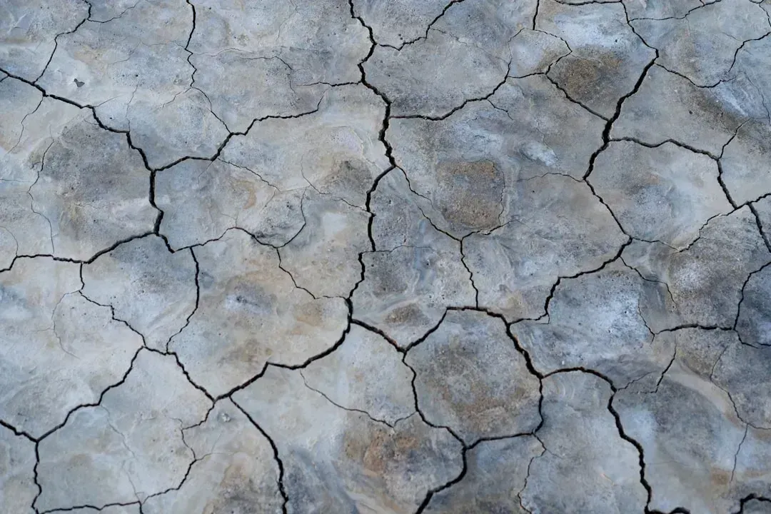
The Great Salt Lake, the largest saline lake in the Western Hemisphere, has shrunk to half its historical size, a consequence of the West’s megadrought and decades of upstream water diversions. Human development and use of water in the watershed have caused a decline in Great Salt Lake water levels of 11 feet since the late 19th century. That is not a natural fluctuation – it is a structural collapse driven by human choices.
The lake’s South Arm finished the 2025 water year at 4,191.1 feet above sea level, the third-lowest recorded elevation since 1903, placing it within the “serious adverse effects” range. Thirty-year projections indicate that a sustained additional inflow of 800,000 acre-feet per year is necessary to return the lake to healthy levels by 2055. Without that commitment, every dry summer chips away at what little remains.
Lake Powell: Racing Toward a Hydropower Crisis
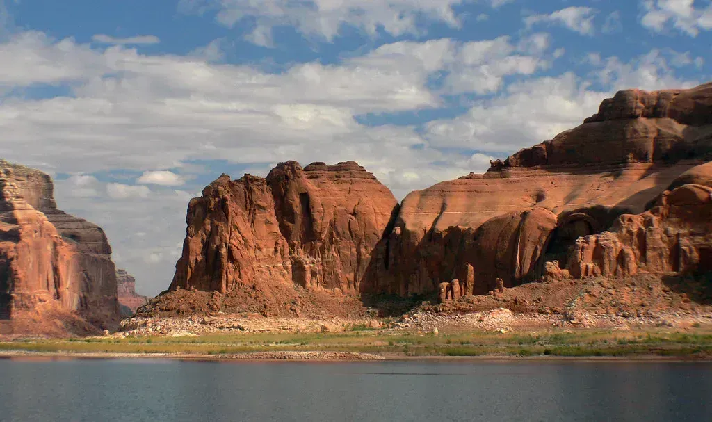
The Colorado River Basin, which provides water to 40 million people, has been plagued by a 25-year drought that drained its main reservoirs to historic lows amid unyielding human demands. Lake Powell sits at the center of that crisis. With the water level hovering around 3,531 feet – just over 24% of its total capacity – the region is witnessing a historic “snow drought” that may fundamentally alter how Lake Powell is managed for the remainder of the decade.
At 3,490 feet in elevation, Glen Canyon Dam can no longer send Powell’s water through its penstocks and turbines to generate hydroelectric power – and Lake Powell is projected to drop below that critical elevation by December 2026, or as soon as August in one scenario. According to data from the Natural Resources Conservation Service, the Colorado River headwaters are currently experiencing their worst snowpack levels since 1986, with Colorado’s snowpack sitting at roughly 63% of the 30-year median.
Lake Mead: The Southwest’s Most Fragile Lifeline
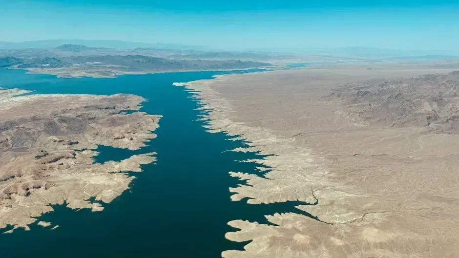
Lake Mead, the biggest reservoir in the United States, is drying up – and the effects are far-reaching, threatening the stability of the entire Southwest region. It provides water to nearly 20 million people in Arizona, Nevada, and California. The reservoir is inching closer to “dead pool” level, around 895 feet, which would have dire consequences for the surrounding areas – it would plunge the Southwest into a major water crisis.
Lake Mead is projected to stay in a Level 1 Shortage Condition, with an expected elevation of 1,055.88 feet – 20 feet below the Lower Basin shortage determination trigger. This will require Arizona to forfeit roughly 18% of its annual allocation, while Nevada must contribute 7% of its share, and Mexico will reduce its water usage under binational agreements. Communities that built their futures on the assumption of an endlessly full reservoir are now facing a painful reckoning.
Walker Lake: A Century of Slow-Motion Disappearance
Walker Lake has been drying up for decades due largely to agricultural and ranching diversions. The Walker Basin Conservancy calls the lake’s decline “an ecological tragedy more than a century in the making.” Walker Lake is a salty terminal lake in Mineral County, Nevada, at the terminus of the Walker River – and due to water diversions, water levels have declined and the salinity of the lake increased dramatically to the point that the general health of the ecosystem is at risk.
Walker Lake was once a thriving ecosystem: it is a major North American Flyway stopover for migratory birds, and it is also home to the largest freshwater trout in North America – the Lahontan cutthroat, a 40 to 50-pound fish with huge cultural and historical importance to the region. Over time, diversions from the river decreased inflow to the lake. For many years, the river went bone dry during irrigation season. The lake grew too saline, and the trout and all other fish disappeared.
Mono Lake: Los Angeles’s Decades-Long Water Battle
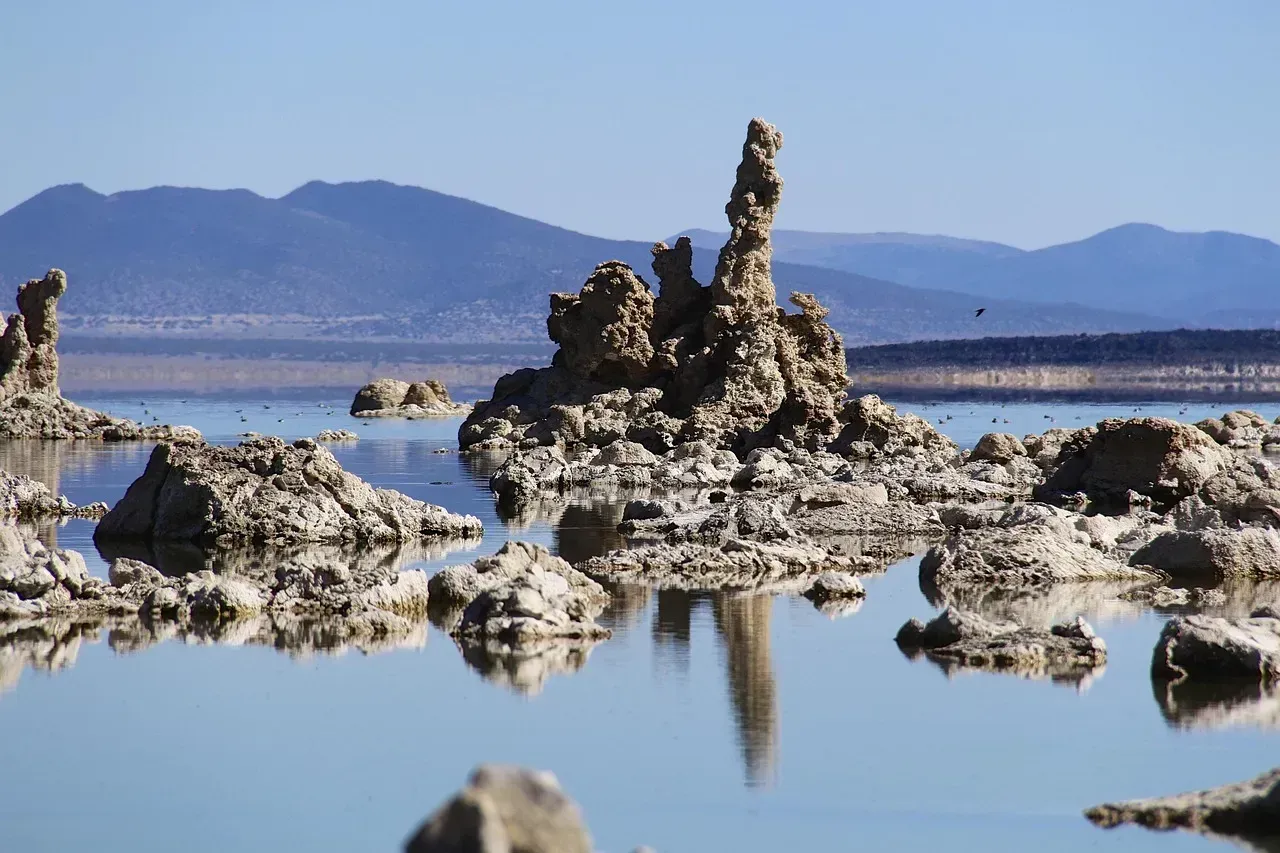
Some 30 miles east of Yosemite Valley, vast amounts of Sierra Nevada snowmelt drain into Mono Lake, which is more than a million years old. Twice as salty as the ocean because it has no outlet, the lake is home to brine shrimp that live nowhere else on Earth and millions of birds. Los Angeles has been diverting the iconic alpine lake’s water to city taps since 1941. Decades of that extraction have left visible scars on the landscape and a fragile ecosystem clinging to survival.
As of 2024, the water level in Mono Lake has risen only 8.8 feet of the required 17.4 feet set as a restoration target. Climate change – especially more extreme droughts and warming winters with less snow – has probably disrupted the forecasted trajectory for Mono Lake’s recovery. Los Angeles continues to take most or all of its allotment of water from Mono Lake, disappointing conservationists who have been trying to restore the lake for decades.
The Bigger Picture: A National Water Crisis Taking Shape
Across the region, lakes are drying up due to a combination of drought, increased demand for water, and changing precipitation patterns. In the last two decades, over two hundred small lakes have dried up in the United States. A major study found that more than half of the world’s large lakes and reservoirs have shrunk since the early 1990s, significantly impacting people and ecosystems. The United States is not an outlier in this global story – it is one of its most visible chapters.
Current guidelines for Colorado River management – including the 2007 Interim Guidelines and the 2019 Drought Contingency Plans – are all set to expire at the end of 2026, leaving a critical void that must be filled with comprehensive strategies. The urgency for the seven Colorado River Basin states to reach a consensus agreement has never been clearer. Experts warn that assumptions around water supply are “sufficiently realistic to serve as a warning of how close the Basin is to a true water crisis,” and that additional, immediate measures to reduce water consumption are needed well before any new guidelines are in place.