
1. Atmospheric rivers are intensifying and shifting where they hit
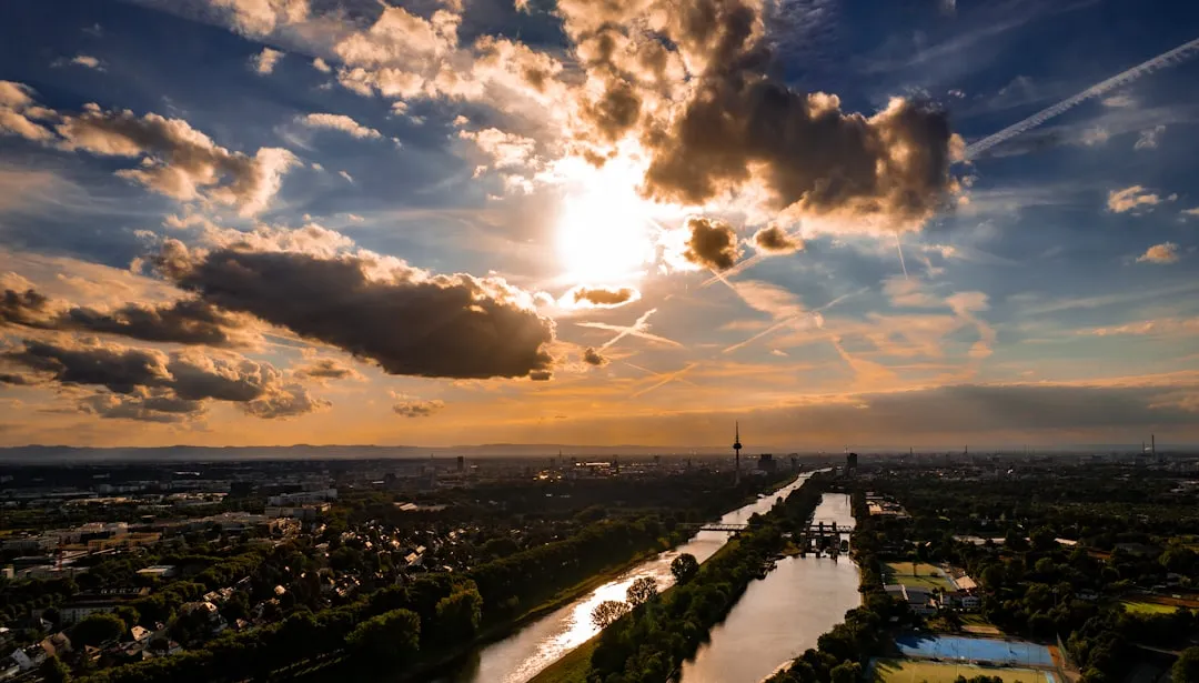
Atmospheric rivers are the long plumes of concentrated water vapor that ferry moisture from the tropics toward higher latitudes, and they’re responsible for a huge share of the West Coast’s rainfall in a normal year. Research published in the Journal of Climate found that over the 1980–2019 period, total atmospheric river area increased by 6% to 9%, with the moisture content of these systems rising even faster than the area they cover. That’s not a subtle shift, and it means the same storm track now delivers more water than it used to.
What’s newer, and arguably more unsettling for forecasters, is where these rivers are showing up. A study covered by Inside Climate News found that between 1980 and 2020, atmospheric river frequency over the Eastern U.S. increased by almost five percent each decade, with the storms slamming the South particularly hard. Meanwhile the West Coast, the region most associated with atmospheric rivers historically, has seen the opposite trend, with Washington, Oregon and California seeing atmospheric river frequency decrease by nearly 4 percent per decade since 1980. Forecasters now have to track a moving target instead of a familiar seasonal rhythm.
2. Hurricanes are intensifying faster and closer to landfall
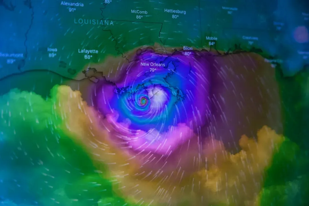
Rapid intensification, defined as a jump of at least 35 mph in sustained winds within 24 hours, used to be considered an unusual event. It’s now something forecasters expect to see in most major hurricanes. According to Virginia Tech meteorologist Stephanie Zick, while rapid intensification is fairly common in hurricanes, we are seeing higher rates than in the past, and Hurricane Erin’s jump from a Category 1 to a Category 5 in about a day during the 2025 season became one of the clearest recent examples.
The concern isn’t just speed, it’s location. A Nature Communications study found that offshore areas within 400 km of the coastline have experienced a significant increase in rapid intensification events, with the count tripling from 1980 to 2020. That leaves less time for evacuation orders and storm preparation, since a storm that looks manageable on a Tuesday can be a monster by Wednesday morning, right as it’s approaching a coastline.
3. Flash droughts are arriving faster than models can track
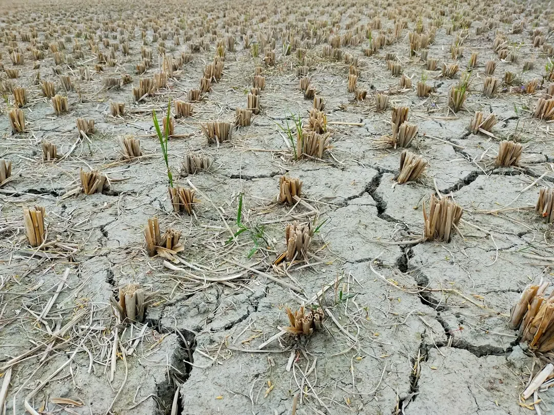
Traditional droughts build slowly over months or years, giving water managers and farmers time to adjust. Flash droughts skip that runway entirely. A global study noted that unlike slow-onset droughts, which are considered the typical presentation and develop over extended periods, flash droughts can transition normal conditions to severe droughts within weeks, and researchers have linked the acceleration directly to rising temperatures.
The scale of the shift is notable. Yale Climate Connections reported that as the climate warms, flash droughts are growing more common in many areas, even in places like the Midwest that are also seeing more heavy downpours. That combination, more intense rain alternating with faster drying, is exactly the kind of whiplash pattern that makes seasonal forecasting so much harder than it used to be.
4. Heat domes are lingering longer over the same regions
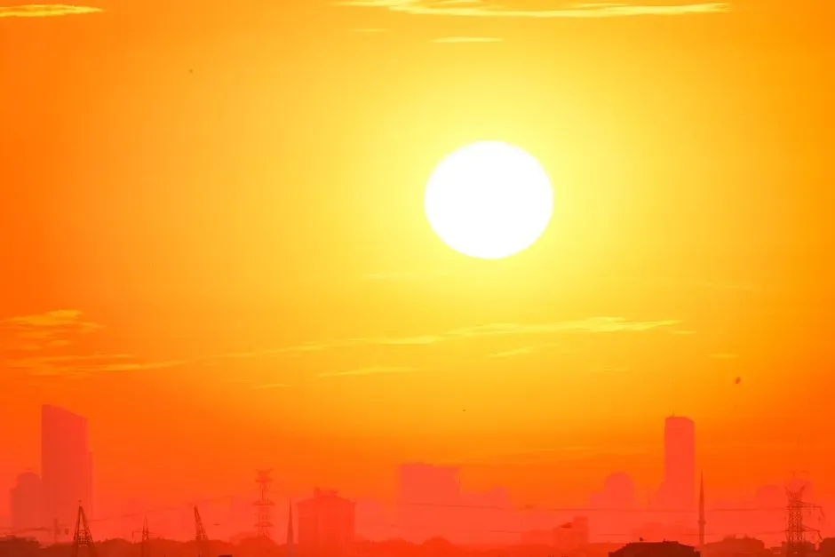
Heat domes form when high pressure traps warm air in place for days or weeks, and meteorologists have noticed these systems sticking around longer than the historical record suggests they should. Iowa State atmospheric scientist William Gallus explained the underlying mechanism to TIME, noting that Arctic regions warming faster than areas closer to the equator is weakening the jet stream, slowing it down and leading to more lingering, high pressure systems.
That weakened jet stream behavior has real consequences beyond just uncomfortable afternoons. Gallus described it as a shift toward extremes, saying when the jet stream is weaker, it’s more likely to take this roller coaster-like pattern across the planet. Once a heat dome locks into place over a region, it tends to stay there, which is why recent heat waves in the Pacific Northwest and parts of Europe have broken records not just for peak temperature but for sheer duration.
5. Polar vortex disruptions are swinging between extremes

The stratospheric polar vortex used to follow a fairly predictable seasonal pattern, but recent winters have shown wild swings between unusually strong and unusually disrupted states. NOAA’s Climate.gov noted that the polar vortex during much of the 2023-2024 winter season was often in a weakened and disrupted state, while a much stronger polar vortex persisted throughout the 2024-2025 winter season. That kind of year-to-year volatility complicates long-range winter forecasting considerably.
When disruptions do occur, they can trigger sudden stratospheric warming events that send cold air spilling far outside the Arctic. ABC News described how these events work, explaining that a sudden warming in the stratosphere above the poles often weakens polar vortex winds, disrupting it and allowing cold air to spill out from the North Pole and down into places like the U.S., Europe and Asia. These events can unfold over weeks and bring cascading impacts that outlast the initial cold snap by a wide margin.
6. Slow-moving storms are dumping extreme rainfall in place
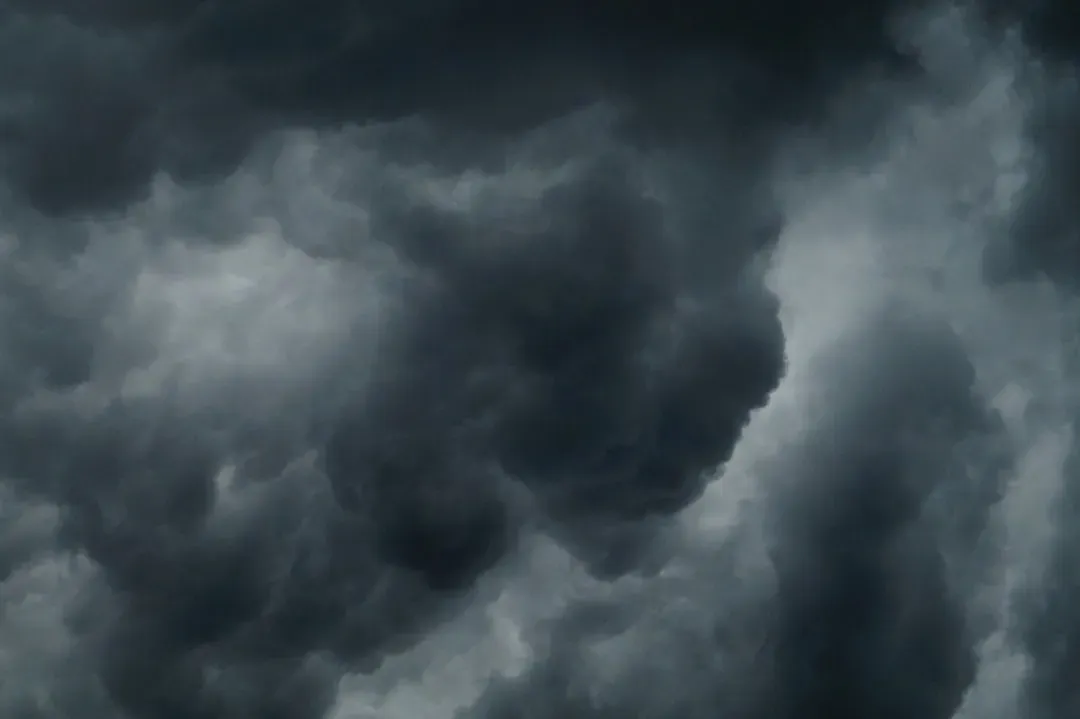
Forecasters have grown increasingly wary of storms that stall rather than move through a region at a typical pace. When a system parks itself over one area for an extended period, the same neighborhoods can receive rainfall totals that would normally be spread across a much wider area or a much longer stretch of time. This pattern was central to catastrophic flooding events in recent years, where storm systems lingered over saturated ground far longer than forecast models initially projected.
The physics behind it connects to the same weakened jet stream dynamics driving heat domes. A slower, wavier jet stream doesn’t just trap high pressure in place, it can also stall low-pressure systems and their attached rain bands. That’s part of why so many recent flash flood disasters, including the Texas Hill Country flooding referenced by meteorologist Marshall Shepherd in his year-end weather review, have involved rainfall rates that overwhelmed drainage systems built for an earlier climate.
7. Marine heatwaves are supercharging storms before they even form
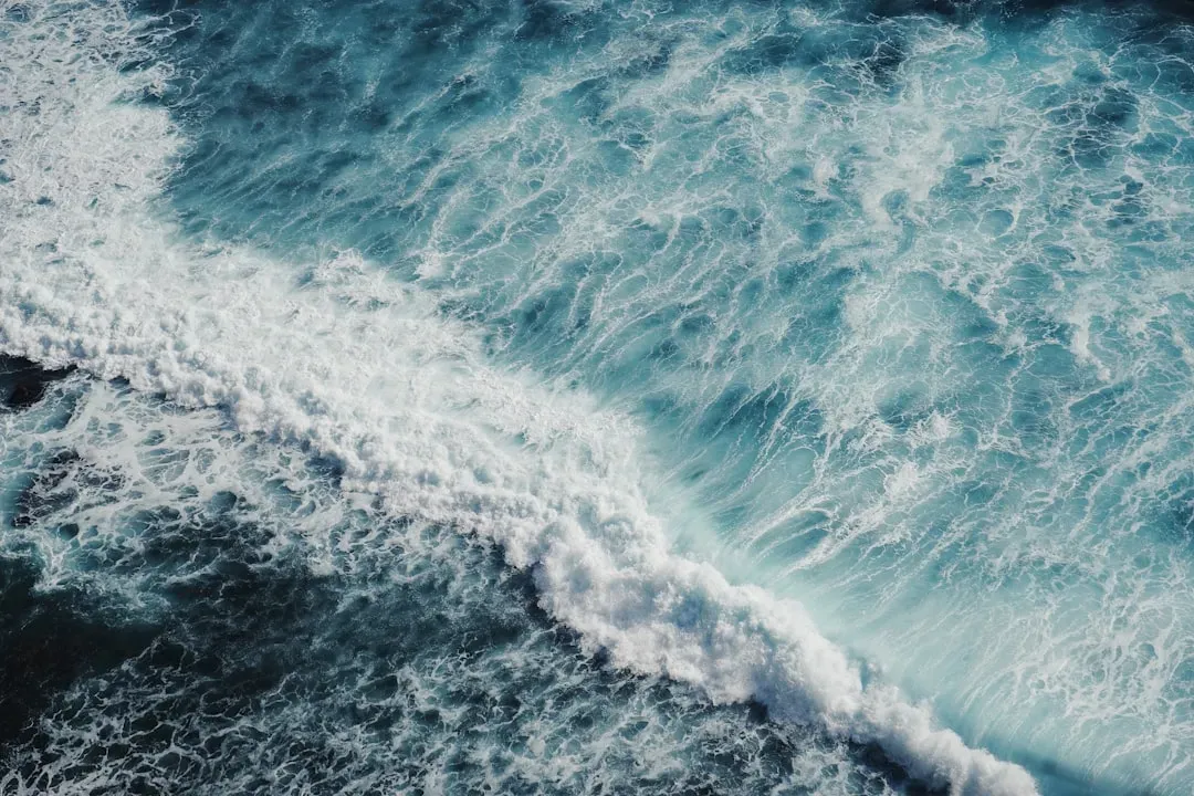
Ocean heat content has been climbing steadily, and warmer water doesn’t just raise sea levels, it changes how much energy is available to feed developing storms. Industry analysis from Carrier Management pointed out that historically, large parts of the North Atlantic Ocean were cooler and could only support storms up to minor hurricane strength, but now that the heat content of the North Atlantic is consistently higher overall, more parts of the surface ocean are able to fuel storms up to category 4 or 5 strength.
This shift helps explain a pattern that puzzled some observers during the 2025 Atlantic season, where weaker tropical storms and the strongest hurricanes both increased at the same time. The same analysis noted that while we may not be seeing a steady increase in the overall number of hurricanes every year, we are seeing a shift in what matters most for loss, intensity, as a warmer ocean and moister atmosphere can supercharge storms that do form. Marine heatwaves are essentially loading the dice toward more dangerous outcomes even before a storm has a name.
8. Compound heat and dryness events are becoming harder to separate
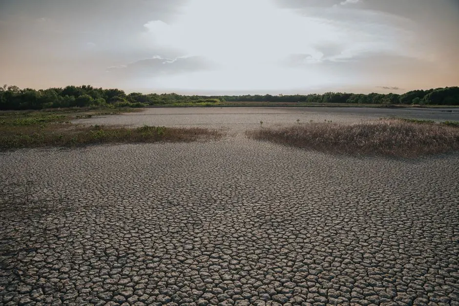
Meteorologists increasingly talk about heat and drought not as two separate hazards but as a single reinforcing loop. Dry soil heats up faster because there’s less moisture to absorb solar energy, and that extra heat accelerates evaporation, which dries the soil out further. The OECD’s Global Drought Outlook described this dynamic directly, noting that droughts are becoming more frequent and severe, placing growing pressure on communities, ecosystems and economies across the globe, with heat and precipitation deficits increasingly arriving together rather than separately.
The same report warned that this compounding effect intensifies risk in specific, measurable ways. It noted that climate change is projected to increase the frequency of extreme drought events characterized by exceptional intensity and duration, with these shifts in extreme events expected to be more pronounced than changes in average drought conditions. For meteorologists, this means a single hot, dry summer can now cascade into wildfire risk, crop failure, and water shortages in ways that used to require a multi-year drought to produce.
These eight patterns don’t operate in isolation, and that’s part of what makes them harder to forecast than the weather extremes of a generation ago. A weakened jet stream feeds heat domes, stalled storms, and polar vortex wobbles all at once, while warmer oceans feed both stronger hurricanes and the atmospheric rivers that eventually make landfall somewhere down the line. None of this means every summer will bring record heat or every storm season will be historically active, but it does mean the range of what counts as a normal season has widened considerably, and forecasters are having to build new expectations around that reality rather than the old ones.